 English
 Français
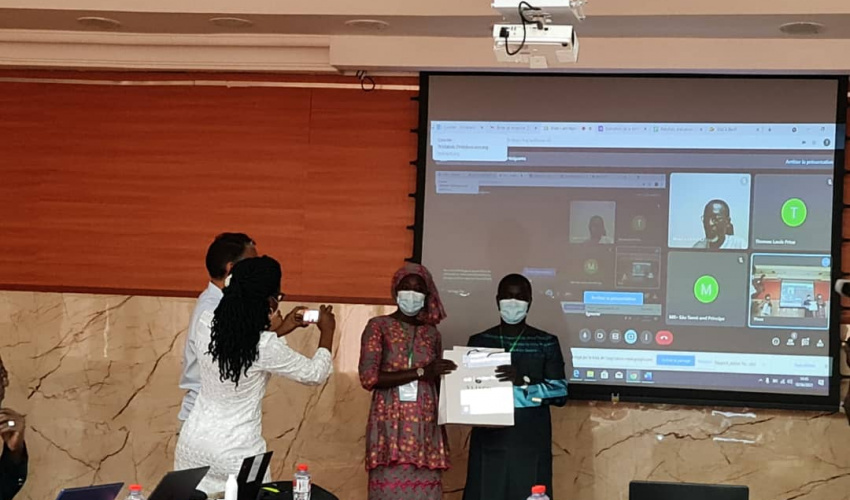
The training of specialists in monitoring and evaluation of the West African Coastal Management Program (WACA) on the use of the Geographic Information System (GIS) ended on June 18, 2021 in Cotonou, Benin.
Initiated by IUCN, through the WACA BAR support office and in collaboration with the Centre de Suivi Ecologique (CSE), it involved 19 people from structures involved in the implementation of WACA, including the Project Management Units (PMUs) of Mauritania, Togo, Benin, Côte d’Ivoire and Senegal, as well as experts from the secretariat of the Abidjan Convention and the CSE.
During the two phases of the workshop, virtual and face-to-face, participants were trained on the use of GIS in general and QGIS software in particular, in connection with the WACA computerized monitoring and evaluation system based on the RUCHE software that allows to generate information on the progress of the project.
At the end of the training, the participants affirmed their satisfaction with the quality of the training and said that they were now able to produce maps of the project’s achievements (restored or reforested sites, protection works against erosion and flooding) from the QGIS software and to import them into the RUCHE mapping module for better monitoring and evaluation. They recommended to the trainers to ensure a continuous support in the implementation of the training until the production of the final maps.
This training, officially opened by the Regional Director of IUCN PACO, Mr. Aliou Faye, on June 8, 2021, was conducted by Mr. Ousmane Bathiery and Mr. Lamine Ndiaye, expert trainers at CSE.